County Manager Jim Barbee updated Churchill County Commissioners Wednesday, April 18, on the county’s ongoing flood mitigation efforts. According to Barbee, the Big Berm and new weir projects continue to move forward as rising temperatures threaten to rapidly increase water flows into the Carson River and Lahontan Reservoir.
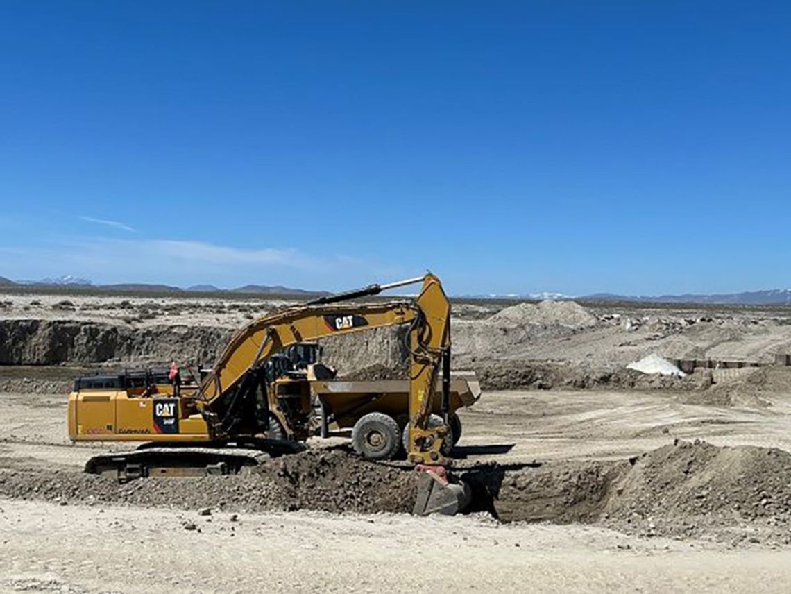
According to Barbee, the final project plans have been completed, and continue to operate under emergency authority. The new weir will attach to the 2017 weir, measure roughly 180 feet across, and include three chambers to accommodate water flow. Steel pylons are already set in the first chamber, which is to be followed by more excavation, concrete, and rebar work which TCID and the Churchill County Road Department will complete. In terms of final depth, the new weir is designed at seven feet lower than the first, creating a combined output from the V-Line Canal of approximately 2,500 cubic feet of water per second (cfs). Barbee reported 34,000 acre-feet (af) of water in Lahontan Reservoir during the meeting, which nearly doubled to 74,827 by April 24. Lahontan’s total storage capacity is reported at 300,000 af, with an estimated 1.2 million af yet to come through the system.
Initially, engineers also considered placing steel pylons on the north side of the V-Line. However, that would have required $2 million, a mile of pylon placement, and confidence that no breaks or leaks could flow back into the Carson River. Upon review, engineers concluded that the better and less expensive option is to haul in and compact dirt on the canal’s north side.
The eight-mile-long, six-foot-high Big Berm project is estimated to be completed by the end of April. The berm allows for increased flows as water moves toward the Carson Pasture. The county continues to monitor the Lahontan Valley, keeping a close eye on Highway 95 South toward Schurz as water levels increase on both sides.
The county recently purchased rail car bridges, one of which will cross the original weir to give better access to operations and installations. Additionally, commissioners approved $44,720 for a two-flight aerial imagery project to capture views of water flowing through the valley, specifically through the weirs and over the north part of the Carson Pasture. Barbee explained these images are more precise than satellite images and will help as the project progresses.
Churchill County and the City of Fallon urge residents to be aware of the rapidly changing water situation and prepare for potential high-water events. Warmer temperatures are ahead, increasing the snowmelt, water flows, and flood risk in the area. Residents of low-lying areas should take extra care to safeguard against flooding. Vehicles are cautioned to turn around when faced with flooded roads, as most flood deaths occur in vehicles.
An interactive online map (see link below) is now available. Print maps are displayed at the Churchill County Administration building at 155 N. Taylor Street and are available for viewing M-F 8 a.m. to 5 p.m. The county asks the public to use the main entrance at the corner of A and N. Taylor Streets.
The High-Water Call Center continues to provide non-emergency resources for citizens seeking information about potential flooding. (Open M-F 8 a.m. to 5 p.m. by calling 775-867-5923).
Sandbags are available for pick-up at 485 Miner’s Road (M-F 10 a.m. to 12 p.m., 12:30 p.m. to 2 p.m., and on weekends from 9 a.m. to 2 p.m.
To view the interactive map: Visit bit.ly/41Cpsi. Use the search field in the upper right of the map to add an address and pull up a home or business location.


Comment
Comments