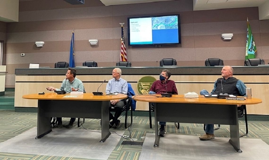
For nearly two years the Churchill County Planning Department has been working with the Carson Water Subconservancy District to review existing flood plain mapping. Tuesday night they released the draft revisions to the public. Existing maps were developed in 1984 based on hydrologic data from the late 1970s. Since that time the operations of Lahontan Reservoir were changed by the Bureau of Reclamation with the Operating Criteria and Procedures that govern how Truckee-Carson Irrigation manages Newlands Project water storage and deliveries.
Since the Flood of 2017 when community leaders worked with the Federal Emergency Management Agency to develop the sophisticated flood management system known as the “Big Dig,” diversions through the Lahontan Valley have been spread through the delivery system, and flows in the Carson River are significantly lower than in the past. These flow regimes have changed projected flooding areas and resulted in the changes depicted in the revised floodplain mapping.
“Homes that are located in the existing flood mapping area have to have flood insurance,” said Chris Spross, Churchill County Public Works Director. “If this gets reviewed and approved by FEMA, then those houses no longer in the flood plain are not subject to carry the additional flood insurance.”
Matt Blum, Water Resource Engineer with HDR Engineering, the company contracted to perform the study said, “The maps are subject to change after the maps are reviewed by FEMA, but they won’t change drastically is my instinct, there may be minor tweaks here and there if FEMA has comments.”
The rest of the process is expected to take roughly 18 months. The maps are being submitted to FEMA for their review, followed by a public workshop once FEMA approves them, then a 90-day public comment period and a final review of comments by FEMA. Once that process is completed the maps are finalized. At that time the county will contact each homeowner affected by the new maps to let them know their home is either inside or outside the new floodplain boundary. As the maps now show most of the homes in Churchill County outside the newly established floodplain, they will no longer be required to carry flood insurance.
This mapping project is limited in scope to the Carson River corridor and does not analyze any floodplain within the City of Fallon and therefore will not provide release for any homes located within the city boundaries.


Comment
Comments