The updated forecast of the amount of water left in the mountains and the amount expected to melt and flow through the Carson River to the Lahontan Reservoir was cut significantly last week, down 100,000-acre feet, after the Bureau of Reclamation received results from the third LiDAR flyover done by the Airborne Snow Observatories on June 7.
Local officials meet at the Truckee-Carson Irrigation District board room every Thursday at 8:30 a.m. to hear the latest information that goes into decision-making regarding the flow of the Carson River into the reservoir and the management of the Newlands Project as a whole.
Representatives from the City of Fallon, Churchill County, the Bureau of Reclamation, the Fallon Tribe, and many other affected organizations heard a report from BOR that showed various “snow pillows” estimating nearly 257,000 a.f. of snow water equivalent still on the mountain. River forecasting models also show a lower efficiency, with only 50% of what is coming off the mountain hitting the Fort Churchill gauge, bringing even less water into the reservoir than previously predicted.
During March and April, forecasts predicted nearly 800,000 a.f. of snowpack in the mountains, enough to easily fill Lahontan Reservoir three times, prompting the City of Fallon and Churchill County to issue emergency declarations and the building of the second weir at the V-Line Canal to help prevent flooding throughout the community.
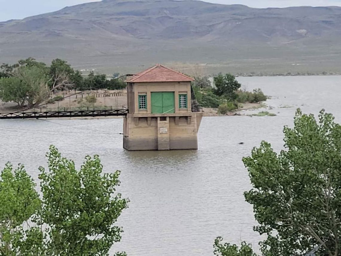
On June 20 there was 267,100 a.f. of water in the reservoir that was built to hold 295,000 a.f. to meet the demands of Newlands Project water right holders. With flashboards installed, the dam can hold 312,000 a.f.
As farmers continue to call on their water rights throughout the growing season, there is only expected to be at most an additional 130,000 more a.f. feet flowing into Lahontan by the end of July.
Management of the Newlands Project by TCID is governed by the Operating Criteria and Procedures, first implemented by the BOR in 1987. According to the OCAP, the level of the reservoir at the end of the season determines the ability to divert, or not, from the Truckee Canal throughout the winter months, storing water for the next irrigation season.
Because TCID diverted so much water early this spring “into the desert,” to avoid flooding the community with the heavy river flows, should they end the season in a position of needing to divert from the Truckee Canal to meet water right demands next spring, there will be pressure from the Pyramid Lake Tribe regarding their use of the Truckee River.
The OCAP dictates maximizing the use of the Carson River by project farmers and minimizing the use of the Truckee River, although the system was designed to supplement Carson River water with water from the Truckee River.
According to Ben Shawcroft, General Manager of TCID, in a press release issued last week, Lahontan is not designed or authorized for flood prevention. The district has over the years used the reservoir that way to help the community in high water years, but the primary use of the reservoir is as a storage facility.
The importance of surface water in Lahontan cannot be underestimated since the State Engineer closed the Lahontan Basin in 1981 to underground water right permitting for agriculture or commercial use, leaving agriculture in the community reliant solely on surface water.
Over the years Churchill County has acquired the majority of those previously existing underground water rights to be used in their municipal supply.
During the last Churchill County Commission meeting, Bus Scharmann, Chairman of the commission said because of the second weir that was built this spring, “TCID can now control the outflows in a high-water year using that weir. Even though they aren't using it now, it can be revisited as needed for active control.”
Commissioner Justin Heath asked, “Are they going to pay us back the $5.5 million since they're not using it.”
Joe Sanford, Civil Deputy District Attorney said there is some discussion regarding reimbursement but no exact numbers at this time.
Scharmann said he has spoken to Ernie Schank, former president of the TCID and he understands that the irrigation district has valid concerns. “They want to make sure the reservoir is full at the end of the season, that is their concern, and flooding is our concern. Our concern is the flooding of homes and theirs is farmers. I did listen and I understand where they're coming from, and I believe this is why we're able to come to an understanding between the district, the city, and the county.”
Additionally, TCID received notice last week from the Bureau of Reclamation that flood operations would be ceasing on June 16, 2023, and starting that day, no orders will be taken at TCID for the delivery of water to non-water-righted lands. All orders for water-righted lands will now be charged against the user's allocation.


Comment
Comments